


In a rare occurrence, the Aurora Borealis (also known as the Northern Lights) were visible to the naked eye in many places throughout America over the May 10-12 weekend.

Dr. Debra Howe will act as North Newton’s Superintendent in the interim as they seek to hire a new full-time person for the role. Dr. Howe previously worked as the superintendent of Tri Creek School Corporation. Superintendent Middleton resigned at the end of last semester, but has worked th…
FORT WAYNE — After a fiery back and forth between themselves and Judge Fran Gull, the legal team for Delphi murder suspect Richard Allen withdrew their right to a speedy jury trial during a hearing last Tuesday in Allen County Superior Court.
On May 20 for the Newton County Historical Society, Kyle Conrad will lead the group in a tour of the Mauseleum at Riverside Cemetery.
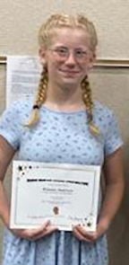
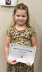
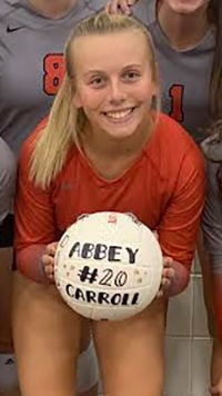
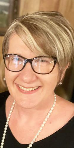
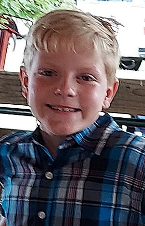
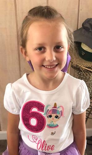
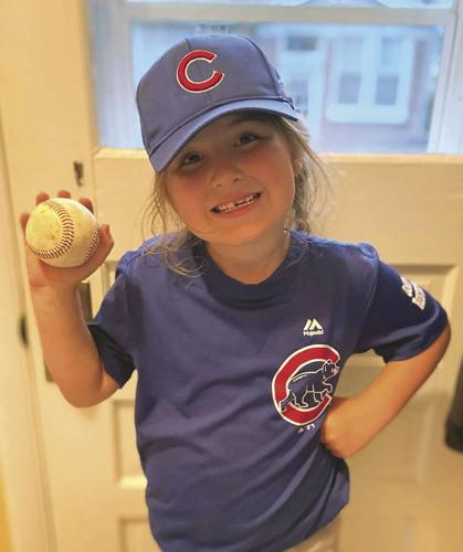
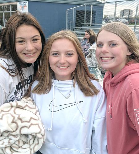
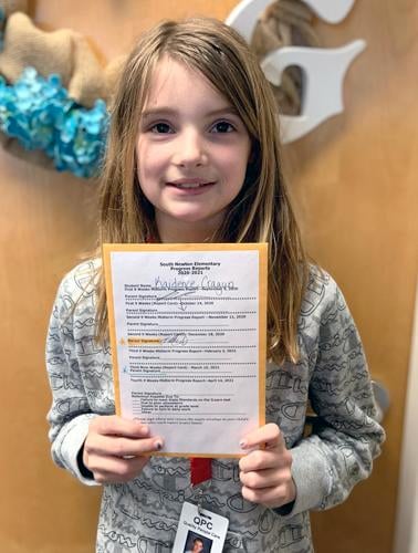
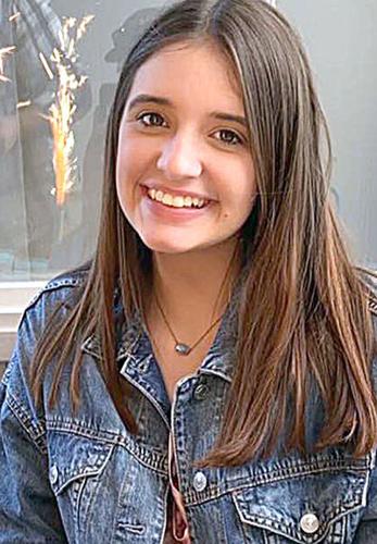
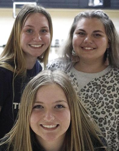
Weekly Smiles

Mary Emmrich is smiling because she crossed from the North American to the Eurasian tectonic plate Thingvellir National Park, Iceland.


Kentland, IN
Right Now
69°
Cloudy
- Humidity: 82%
- Feels Like: 69°
- Heat Index: 69°
- Wind: 3 mph
- Wind Chill: 69°
- UV Index: 8 Very High
- Sunrise: 05:29:56 AM
- Sunset: 08:02:49 PM
- Dew Point: 63°
- Visibility: 7 mi
Today
Sun and clouds mixed. A stray shower or thunderstorm is possible. High 77F. Winds light and variable.
Tonight
Clear to partly cloudy. Low 59F. Winds light and variable.
Tomorrow
Plentiful sunshine. Warm. High 83F. Winds light and variable.
Day
Temp
Fri
Fri
Friday
77°/59°
Mix of sun and clouds. Highs in the upper 70s and lows in the upper 50s.
Chance of Rain: 15%
Sunrise: 05:29:56 AM
Sunset: 08:02:49 PM
Humidity: 63%
Wind: SW @ 4 mph
UV Index: 8 Very High
Friday Night
Clear to partly cloudy. Low 59F. Winds light and variable.
Sat
Sat
Saturday
83°/63°
Plenty of sun. Highs in the low 80s and lows in the low 60s.
Chance of Rain: 8%
Sunrise: 05:29:04 AM
Sunset: 08:03:46 PM
Humidity: 61%
Wind: SSW @ 6 mph
UV Index: 8 Very High
Saturday Night
Clear skies. Low 63F. Winds light and variable.
Sun
Sun
Sunday
88°/65°
More sun than clouds. Highs in the upper 80s and lows in the mid 60s.
Chance of Rain: 24%
Sunrise: 05:28:14 AM
Sunset: 08:04:43 PM
Humidity: 56%
Wind: WSW @ 5 mph
UV Index: 8 Very High
Sunday Night
A few clouds. Low around 65F. Winds SSE at 5 to 10 mph.
Mon
Mon
Monday
86°/66°
Partly cloudy. Highs in the mid 80s and lows in the mid 60s.
Chance of Rain: 24%
Sunrise: 05:27:25 AM
Sunset: 08:05:38 PM
Humidity: 53%
Wind: S @ 15 mph
UV Index: 7 High
Monday Night
Some clouds and possibly an isolated thunderstorm after midnight. Low 66F. Winds S at 10 to 15 mph. Chance of rain 40%.
Tue
Tue
Tuesday
86°/65°
Afternoon showers and thunderstorms. Potential for severe thunderstorms. Highs in the mid 80s and lows in the mid 60s.
Chance of Rain: 36%
Sunrise: 05:26:39 AM
Sunset: 08:06:33 PM
Humidity: 62%
Wind: S @ 19 mph
UV Index: 8 Very High
Tuesday Night
Thunderstorms. Potential for severe thunderstorms. Low near 65F. Winds SSW at 15 to 25 mph. Chance of rain 80%.
Wed
Wed
Wednesday
79°/56°
Scattered thunderstorms possible. Highs in the upper 70s and lows in the mid 50s.
Chance of Rain: 47%
Sunrise: 05:25:54 AM
Sunset: 08:07:28 PM
Humidity: 63%
Wind: WSW @ 15 mph
UV Index: 8 Very High
Wednesday Night
Scattered thunderstorms during the evening followed by a few showers overnight. Low 56F. Winds W at 10 to 15 mph. Chance of rain 50%.
Thu
Thu
Thursday
75°/55°
Plenty of sun. Highs in the mid 70s and lows in the mid 50s.
Chance of Rain: 13%
Sunrise: 05:25:11 AM
Sunset: 08:08:21 PM
Humidity: 57%
Wind: W @ 12 mph
UV Index: 8 Very High
Thursday Night
Partly cloudy. Low around 55F. Winds NNE at 5 to 10 mph.
Recent Obituaries
Follow us on Facebook
Special Sections Spotlight


featured
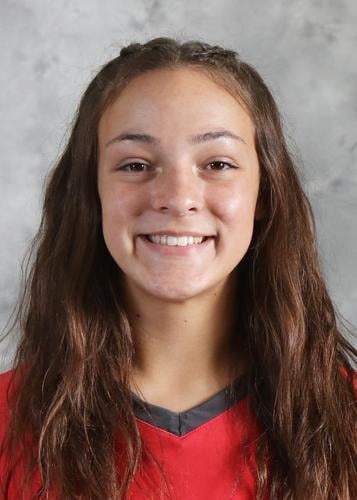
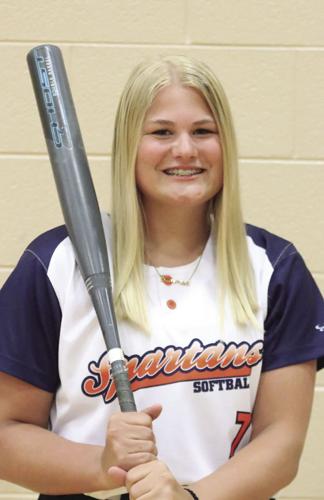
The South Newton Rebels’ baseball team faced a tough defeat against the Watseka Warriors on Friday, May 10, suffering a 14-run loss with a final score of 18-4 on the road.

featured
The Lake Village Youth Summer League marked the beginning of a new season with a celebration of community and growth on May 4. The event kicked off with a parade around the town of Lake Villag…
Trending Food Videos
(The Center Square) – Citing several protests of Israel’s strikes against Hamas in Gaza that have taken place at colleges across Indiana, state Attorney General Todd Rokita reminded higher education leaders their institutions could see their federal funding stripped if they do not protect the civil rights of their Jewish students.

ANGOLA — Two Steuben County Councilmen received congratulations in their election victories to offices beyond the council at the start of Tuesday’s council meeting.

In the nearly six years since a federal law appeared to open the doors to delta-8, the marijuana-like drug has grown into a billion-dollar Hoosier industry.


